-
Products
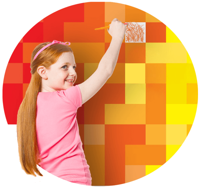
Creativity Starts Here
Explore Crayola products, created to encourage creative expression, foster learning, and fuel imaginative fun.
Browse All Products
-
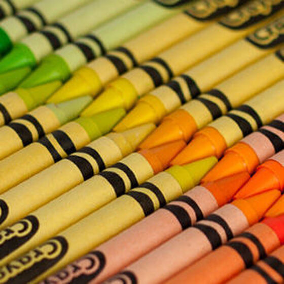
Coloring
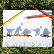
Explore Free Coloring Pages!
Inspire imagination and fun for kids of all ages.
Browse All Free Coloring Pages -
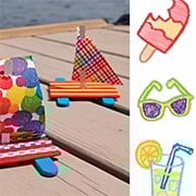
Create
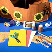
Fresh Ideas & Activities
Have a creative moment today with free activity sheets, ideas, and more.
Browse All Ideas & Activities -
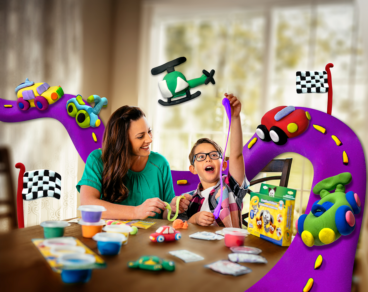
Learning
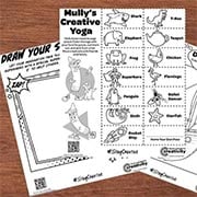
Resources for Students, Educators, & Families
Transform learning with engagement, collaboration, and creativity.
Browse All Learning Content -
Discover
Explore More from Crayola
Stay inspired with our latest creative campaigns, get the support you need, and discover the story behind the brand that brings color to life.