Skip to Main Content

Majestic 3-D Landscapes

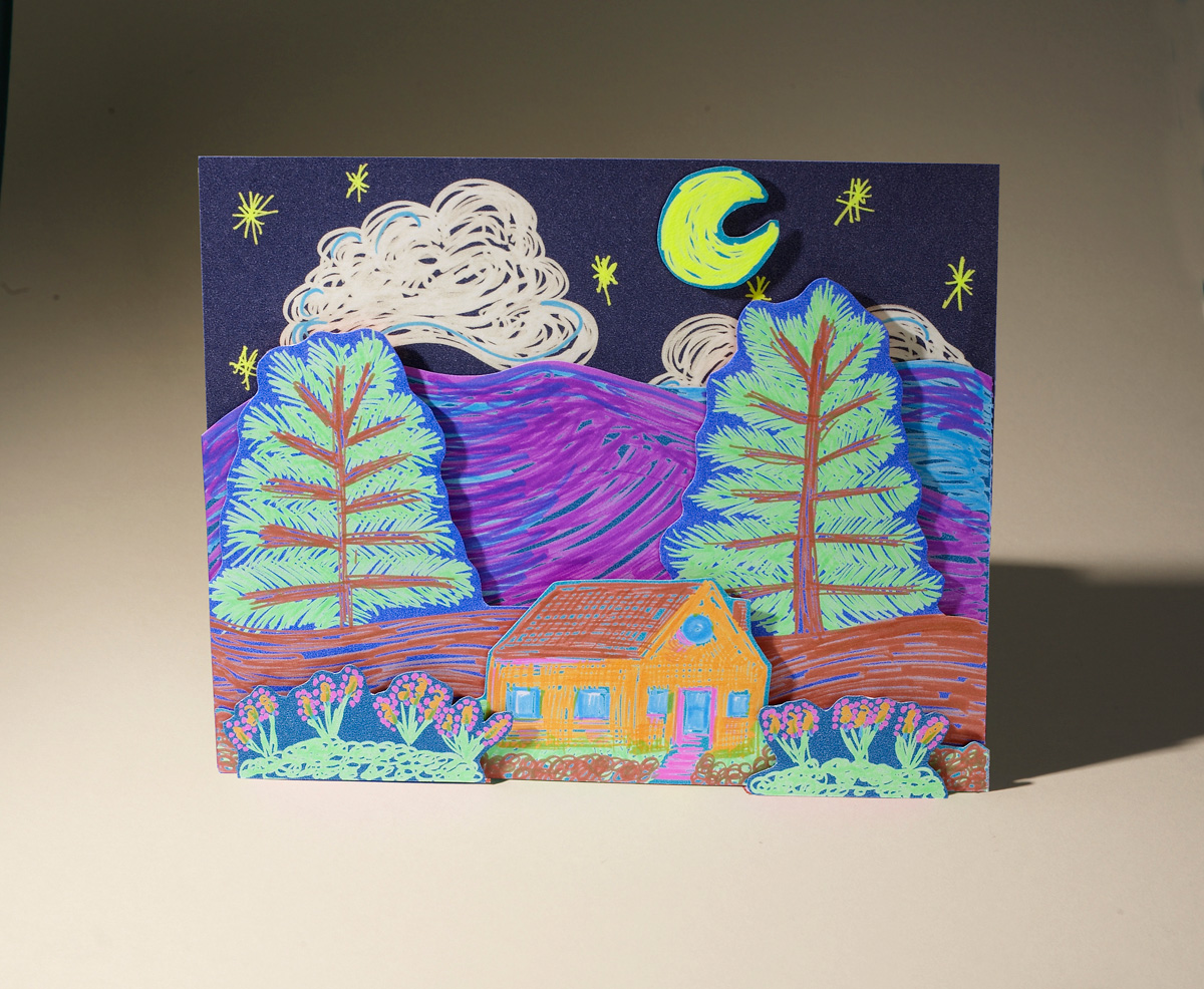
Students will learn about topographical maps and landforms and create a vivid 3D scene.

Lesson Plan

Supplies Needed

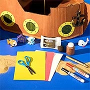
Gather all the supplies needed to bring your craft ideas to life! From paints and markers to glue and scissors, our crafts section has everything to spark creativity and make every project truly special.

Steps

  • Step 1

    Have a discussion about landforms. Ask students to name as many as they can such as mountains, volcanoes. coral reefs, canyons, glaciers, ponds, sandbanks, etc. Ask if they can identify which are flat (plateaus, mesas, etc.), which are bodies of water (lakes, rivers, etc.) and others linked by a common characteristic. Talk about topographical maps, which use elevation contour lines to show the shape of the Earth's surface. They also display other features such as roads, railroads, geographical features including landforms, etc.

  • Step 2

    Ask students to design a 3D landscape that includes a landform. They might depict a region near them or look at images of noted landforms to inspire them. Have them begin by creating the background using oil pastels on a sheet of construction paper. Next have them create the middle ground on another sheet of paper by illustrating some features that would be seen there. Lastly they can illustrate objects that would appear in the foreground.

  • Step 3

    Now have students cut out the images that will be in the middle ground and foreground. Ask them to first attach the middle ground objects onto the background by placing a piece of rolled tape on them, which can give the art dimensionality, or an adhesive foam dot that will raise the art above the background. Then do the same to attach the foreground images onto the middle ground.

  • Step 4

    Have students present their art and discuss the landform(s) they depicted and where they're located.

Standards

SCI: Design pictorial or graphic representations/models that are useful in communicating ideas. 

SS: People, Places, and Environments: Use maps and other geographic representations, geospatial technologies, and spatial thinking to acquire, understand, and communicate information. 

Adaptations

Have students research a specific landform such as the Marble Caves in Chile, the Chocolate Hills in the Philippines, the Grand Canyon in Arizona, or any other and then create another 3D scene.

Have students visit the National Park Service website (www.nps.gov) to view and learn about various landforms found in national parks in the US.