Skip to Main Content

My Town

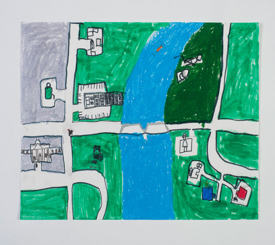
Students will explore some math concepts involved in cartography, then create a map of their region.

Lesson Plan

Supplies Needed

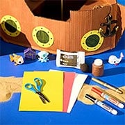
Gather all the supplies needed to bring your craft ideas to life! From paints and markers to glue and scissors, our crafts section has everything to spark creativity and make every project truly special.

Steps

  • Step 1

    Have students explore cartography, the study and practice of making and using maps. Ask them to learn about its history, from a wall painting that might depict the ancient Anatolian city of Çatalhöyük from the 7th millennium BCE to modern advancements such as the use of GPS which brought more accuracy to geographical and location-based data and widened the range of applications for cartography. Have them also explore how geometry is an essential concept in cartography. 

  • Step 2

    Display a map of your community (online or on a paper map). Ask students to identify roads, highways, parks, water, and buildings in the area. Encourage them to note the geometric shapes and sizes portrayed. How are streets arranged? If the streets are not parallel or straight can they discern why? What shape are the buildings' footprints and how are parking lots represented? What are the shapes of lakes and ponds and how are connected waterways shown?

  • Step 3

    Have students choose a region to sketch, one that might include intersecting roads, waterways, town squares, highways, bridges, and other features. When their maps are done have them present them to the class and talk about the region they depicted as well as the map making principles and techniques they used to create them.

Standards

MATH: Analyze, compare, create, and compose math ideas using written, oral, and drawn lines, shapes, forms, and patterns.  

SS: People, Places, and Environments: Use maps and other geographic representations, geospatial technologies, and spatial thinking to acquire, understand, and communicate information.

Adaptations

Read a book such as "The Shape of Things: How Mapmakers Picture Our World" by Dean Robbins and Matt Tavares or "The Boy Who Loved Maps" by Kari Allen and G. Brian Karas. Discuss the tools and techniques used by the characters in the book. 

Have students create directions for a scavenger hunt. They can give clues such as, "Walk 50 steps north to find a clue taped to a tree," etc.