Skip to Main Content

Map Making

Students will explore the field of cartography and create a personal map.

Lesson Plan

Supplies Needed

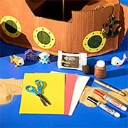
Gather all the supplies needed to bring your craft ideas to life! From paints and markers to glue and scissors, our crafts section has everything to spark creativity and make every project truly special.

  • Paper Bag

Steps

  • Step 1

    Cartography, the art and science of graphically representing a geographical area, is an ancient discipline that dates back to the prehistoric depiction of hunting and fishing territories. Have students investigate the history of map-making. Where and when did it begin? What areas were originally mapped? How are modern maps plotted and created? How has satellite photography contributed to map making? 

  • Step 2

    Treasure maps, though they exist more in fiction than in reality, mark the location of buried treasure, a hidden locale, or a valuable secret, among other things. Have students think of something that is important and valuable to them, perhaps a place they visited with someone special, the location of a time capsule they buried, or anything else. Then have them plot out a way for others to find it.

  • Step 3

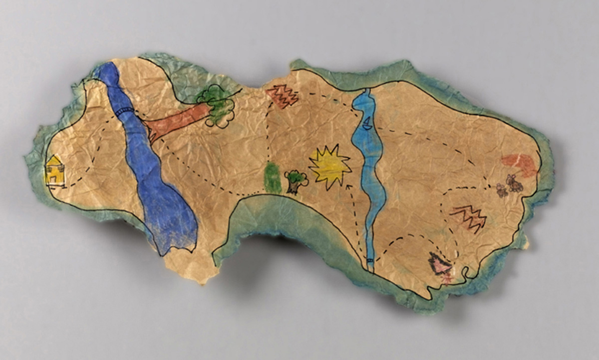
    To make their map look like it is old, students can start by tearing a shape out of a brown paper bag, moistening it with water, crumpling it up, then spreading it out flat. When it's dry they can illustrate landmarks of the region and draw  a route to the location of the special place or "treasure." 

  • Step 4

    Have students present their maps to the class and discuss the process of map making and the special location they chose to illustrate.

Standards

SS: People, Places, and Environments: Use maps and other geographic representations, geospatial technologies, and spatial thinking to acquire, understand, and communicate information. 

SEL: Self-Awareness: Identify personal, cultural, and linguistic assets as well as personal interests that lead to a sense of purpose. 

Adaptations

Have students collaborate to design and create a scavenger hunt for younger grades. They can provide a map and instructions that lead treasure hunters to clues that will ultimately lead to a reward, perhaps a box of crayons, an edible treat, or anything else, at the end of the quest.

Every spot on Earth has a geographic coordinate expressed as latitude (the distance north or south of the equator) and longitude (the east-west position of a point on Earth). It is the oldest and most widely used spatial reference system on Earth. Have students look up the coordinates for areas that are meaningful to them. They might find the city of their birth, their school, a close relative, etc.